

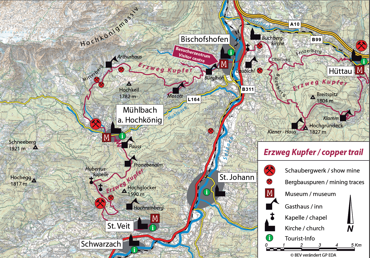
The Ore Trail
The Ore Trail connects the four Geopark
municipalities of Hüttau, Bischofshofen,
Mühlbach, and St. Veit. It leads from
the Larzenbach show mine to the
municipal office in Hüttau, where the
Mineral Museum is located, and over the
Klammalm to the Hochgründeck. From
there, it goes over the Hofersattel to the
Hörndlwald chapel, down to the Buchberg.
An alternative route is the path from
Hüttau over the Fritzerberg. The trail
continues down to Bischofshofen to the
Visitor Center of the Geopark, located on
the grounds of the Paul Ausserleitner Ski
Jump (finale of the Four Hills Tournament,
January 6).
The trail continues via the Gainfeld waterfall and the Bürglhöh, the Knappensteig and the Kalten Bründl to the Arthurhaus below the Mandlwände. From there it goes through the Barbaraschlucht gorge and the old Mitterbergerstraße to Mühlbach to the Knappenheim and Schaustollen. The route continues via the Pauss Bauer to the Pronebenalm and along forest paths to St. Veit, past the Hubertus and Fadlstoa chapel and the Sunnpau show mine. From there, the trail continues to the Seelacken Museum, where it ends after approx. 60 kilometres.
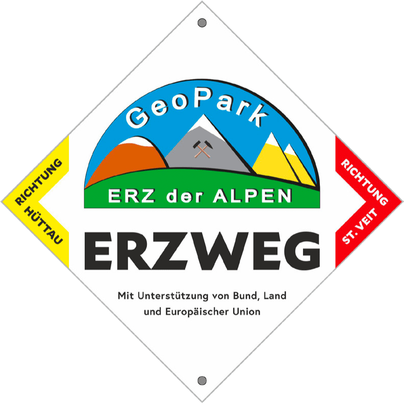
For easy orientation, the Ore Trail is
equipped with signs every few hundred
meters, as shown below, indicating the
direction.
Kids
Welcome to the Ore of the Alps UNESCO Global Geopark
You are currently on the Erzweg, a hiking trail that stretches for around 60 kilometres in 5 stages across the Pongau region. From Hüttau, the Erzweg leads up to the Hochgründeck, then down to Bischofshofen to the visitor centre. From Bischofshofen, the trail continues via the Gainfeld waterfall and the Knappensteig trail to Mühlbach and the Arthurhaus.
Once there, the trail heads back down into the valley to Mühlbach am Hochkönig. The last and fifth stage leads from Mühlbach to St. Veit im Pongau, where the Erzweg ends.
Along the Erzweg you will find many exciting information boards, the geosites. At each board you will learn something new about the Pongau region, about geology and landscape, legends and legends and mining and history.
Have fun on the hike!
