

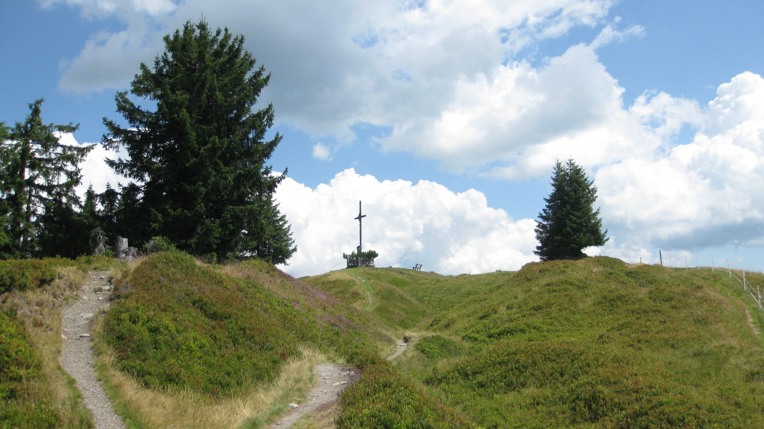
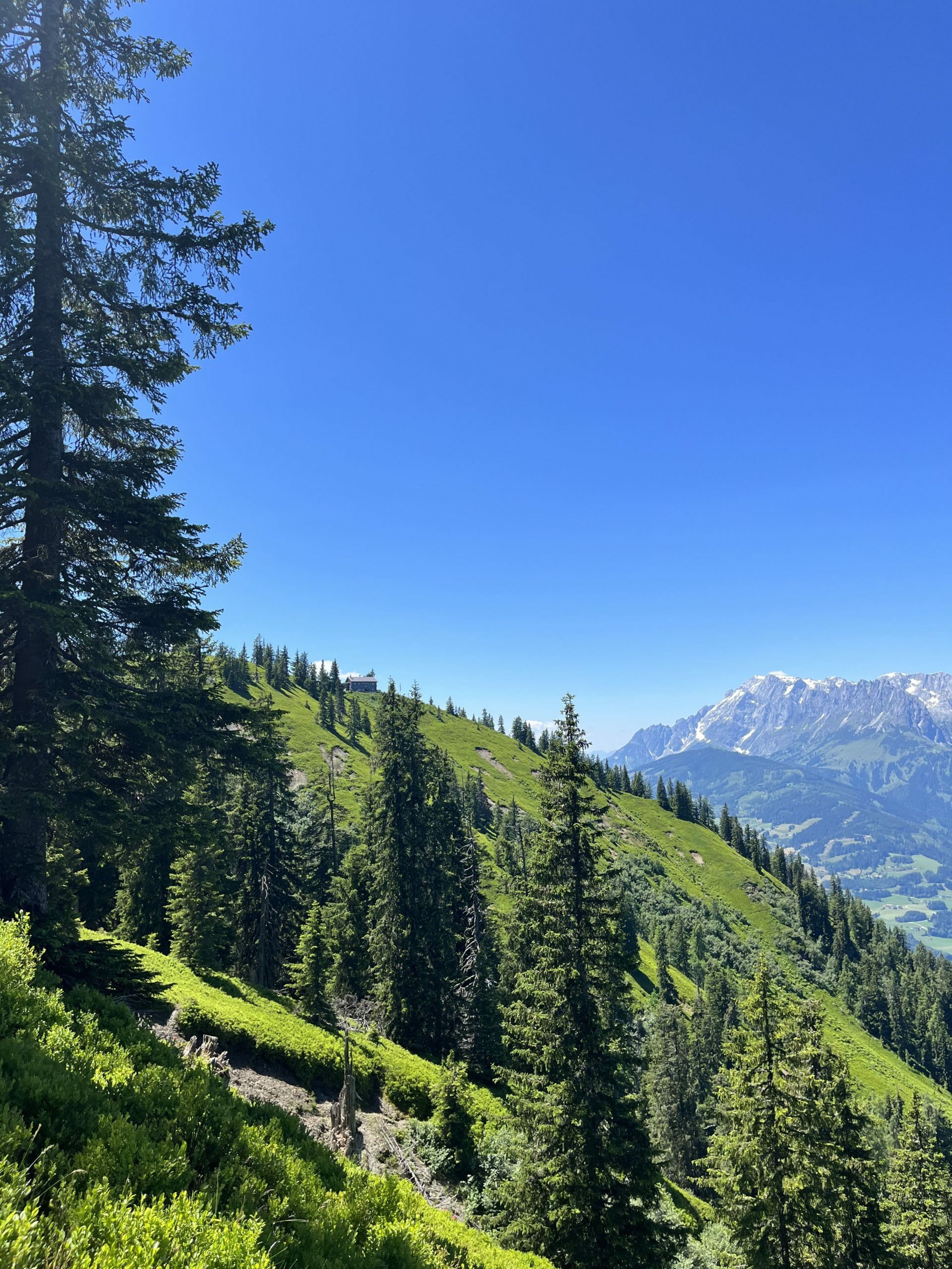
Hochgründeck - Panorama view
The Hochgründeck mountain (1,827 m), the highest elevation of the greywacke zone in the Ore of the Alps UNESCO Global Geopark, is approx. 1,300 meters above the Salzach Valley near Bischofshofen. From the summit, you can see the fascinating Salzburg - Upper Austrian - Styrian mountain landscape with its deeply carved valleys in all its diversity.
At the culmination of the last Ice Age, around 20,000 years ago, the ice of the Salzach Glacier even covered the summit of the Hochgründeck mountain. The ice thickness was approx. 1,300 m! The ice erosion is one reason why the summit, created in the soft shales and phyllites of the graywacke zone, has its present rounded appearance we see today.
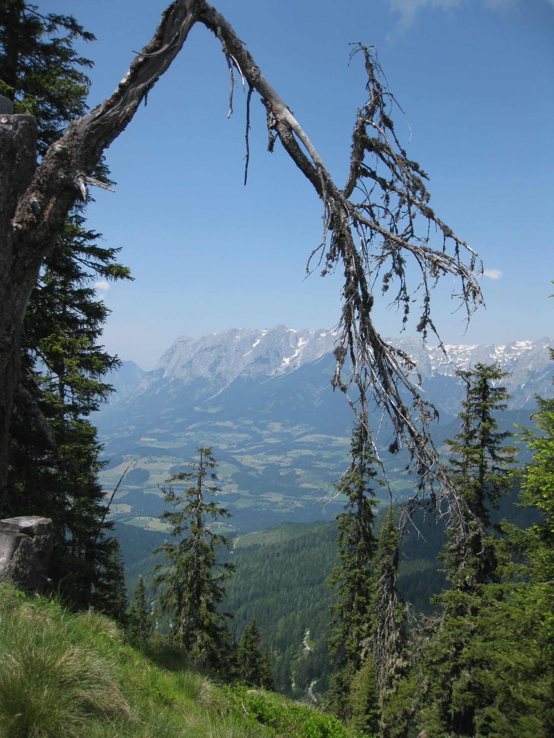
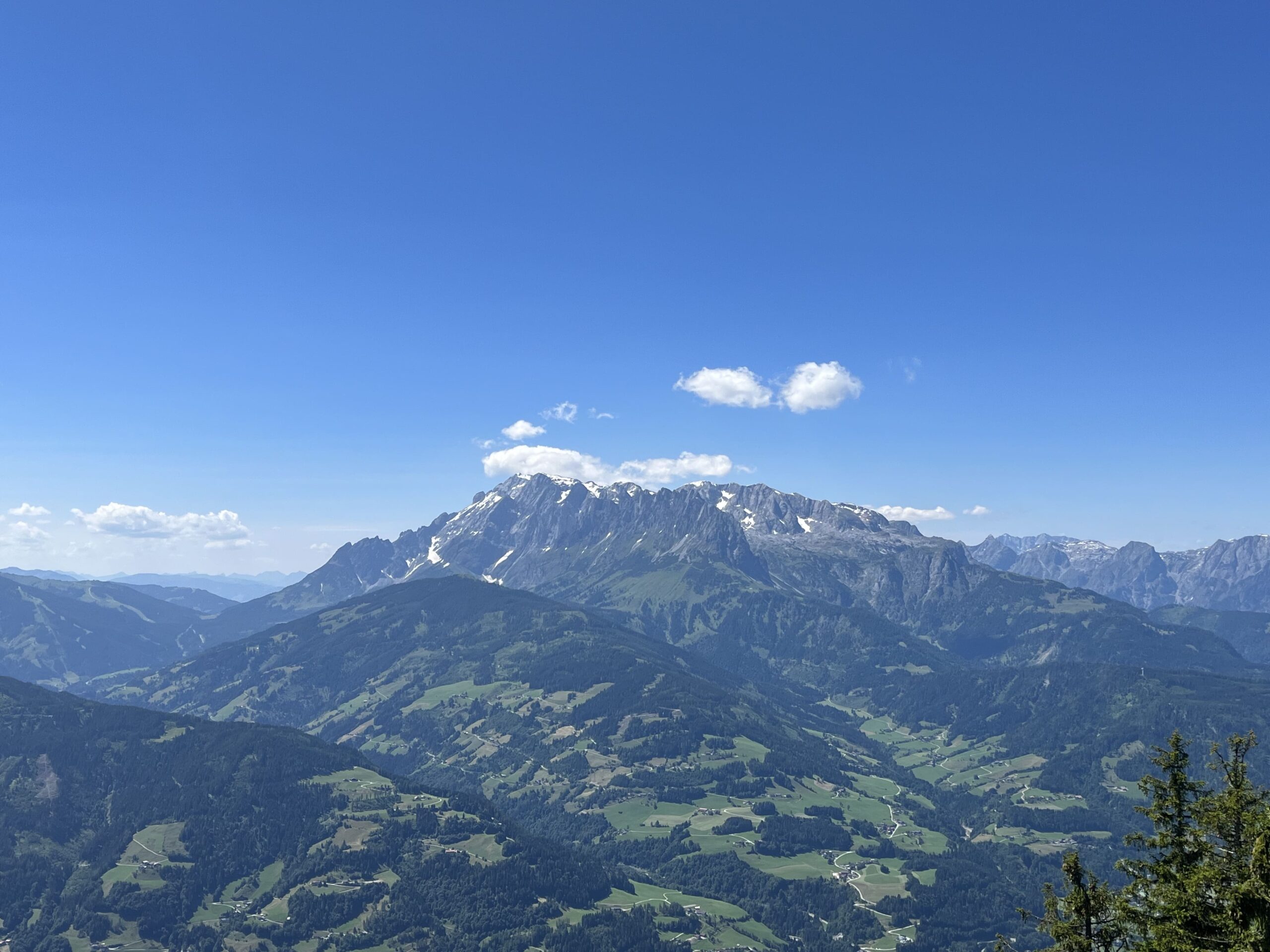
From here you can see about 300 Alpine peaks. The northern side is formed by the Northern Calcareous Alps. From west to east, these are the Hochkönig, the Watzmann, the Hagengebirge, the Tennengebirge, the Bischofsmütze, the Gosaukamm and the Dachstein. The crystalline ranges of the Schladminger and Niedere Tauern connect to the east and south-east. The southern silhouette is formed by the main Alpine ridge with the Hohe Tauern, namely crystalline mountain ranges: Ankogel, Sonnblick, Glockner and Venediger Groups.
Kids
Solstice bonfire
The solstice bonfire, also known as the bonfire of St John, is an old tradition that is often celebrated in Alpine countries such as Germany, Austria and Switzerland, as well as in other regions. The solstice bonfire is a festival that is celebrated every year around the summer solstice. The summer solstice is the longest day of the year and takes place around 21 June.
In the past, people believed that the fire could drive away evil spirits and bring good luck for the harvest. Today, it is a beautiful tradition to welcome nature and the summer. The solstice fire is therefore an old tradition that many people still enjoy celebrating today, especially in the Alpine countries. It is a time of celebration, community and joy about summer and life outside in nature.
Here, at the Hochgründeck near the Heinrich-Kiener-Haus, a midsummer bonfire is lit every year.
Solstice bonfire
The solstice bonfire, also known as St John's bonfire, is an old tradition that is mainly celebrated in Alpine countries such as Germany, Austria and Switzerland. It takes place around the summer solstice, the longest day of the year around 21 June. People used to believe that the fire could drive away evil spirits and bring good luck for the harvest.
Today we celebrate the solstice bonfire to welcome the arrival of summer and honour nature. It is a wonderful time of celebration, community and the joy of being outside in nature and enjoying the summer.
Here, at the Hochgründeck near the Heinrich-Kiener-Haus, a midsummer bonfire is lit every year.
Solstice bonfire
The solstice bonfire, also known as St John's bonfire, is an old tradition that is mainly celebrated in Alpine countries such as Germany, Austria and Switzerland. It takes place around the summer solstice, which is the longest day of the year and is around 21 June. In the past, people believed that the fire could drive away evil spirits and bring good luck for the harvest. Today, the solstice bonfire is an opportunity to celebrate summer and honour the power of the sun. It is a time for people to come together and celebrate the beginning of summer.
Here, at the Hochgründeck near the Heinrich-Kiener-Haus, a midsummer bonfire is lit every year.
