

Raggl Creek - Landscape
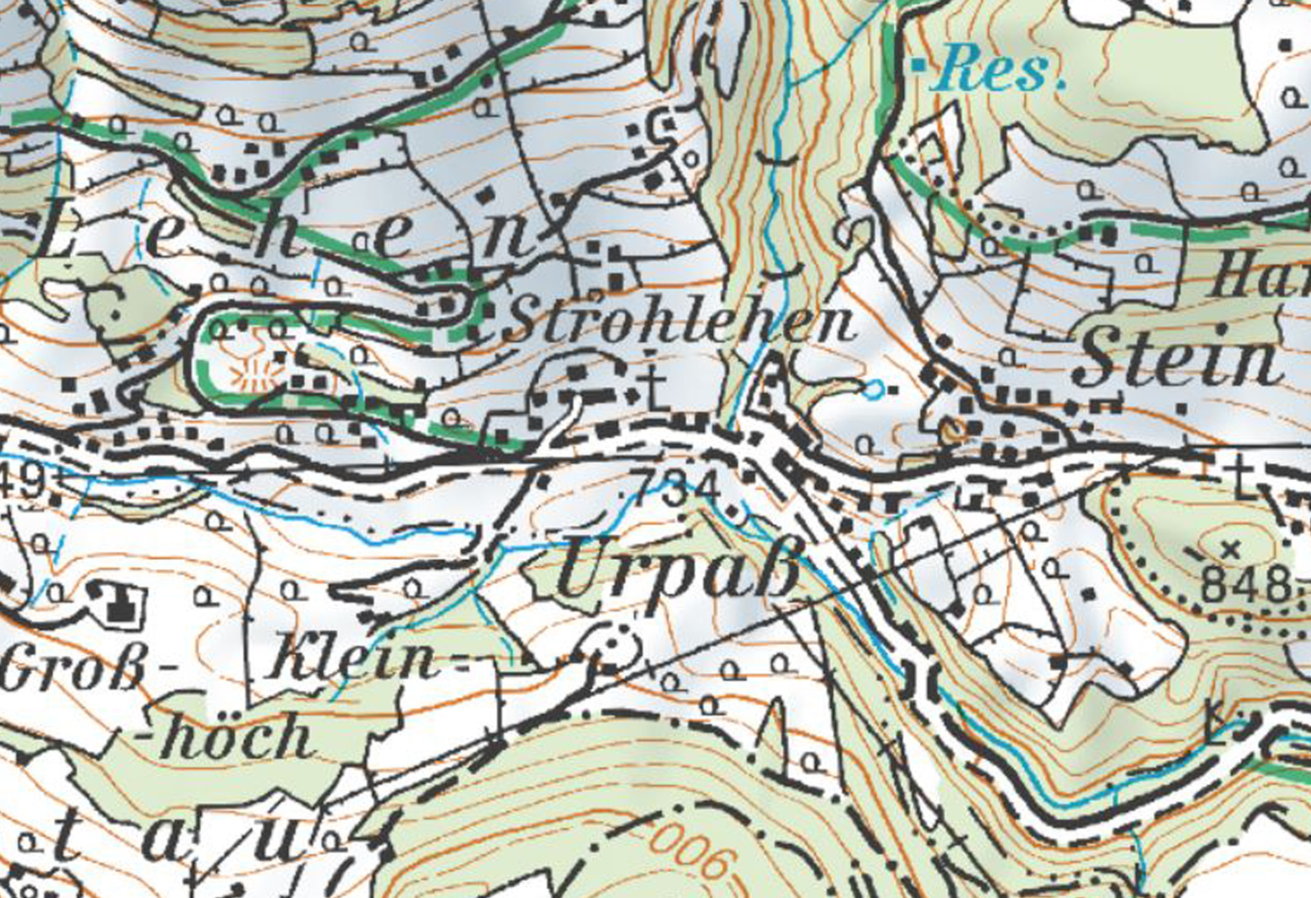
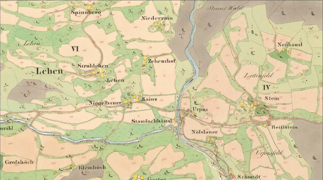
The Raggl creek in the upper Putzengraben
trench, which consists of several channels
that rise east of the Schneeberg (1,921 m),
fl ows into the Wenger creek coming from
the west at Urpass (784 m). From the bend
in the river, where the direction of flow
changes from west/east to north/south,
i.e., east of the Klockeralm, the Raggl
creek forms a distinctive, deep gorge-like
trench.
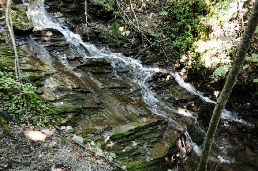
From a geological point of view, the
Raggl creek is located in the area of the
greywacke zone. The stream is created in
what is known as the Wildschönau slates
(Upper Ordovician to Devonian, approx.
485-420 million years) and runs through
an area of extremely fi nely divided and
very thin-leaved black phyllites here,
which are characterized by the fault zone
bordering to the northeast, to the much
harder limestone marble and calcareous
slates.
The lower Putzengraben trench has cut
deeply into its surroundings and runs,
gorge-like, towards the Salzach river with
a steep gradient. In this area, the creek
is already in the Schwarzach vicinity. The
Putzengraben trench posed a geotechnical
challenge when the St. Veit bypass road
was built.


